|
Gaia CAD
This is a small..... CAD/GIS program
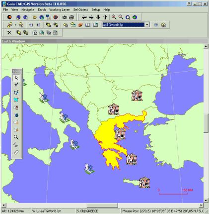
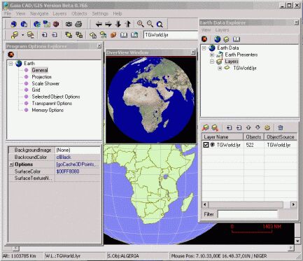
GaiaCAD displays GIS and mapping data on a real-time, interactive
three-dimensional globe, Cartesian, Mercator and other projections
of the Earth.
In the GaiaCAD Earth globe can be rotated and zoomed to display a
close-up of any region of the Earth and you can interact with the
countries and objects displayed. Take a look at the Photos to see
some of the capabilities of GaiaCAD.
(.exe 3437 Kb)
Se sei interessato
scarica da qui
|